Wednesday, September 11, 2013

Libya Archaeological Guides (1) Tripolitania


Tripolitania

This book is the first in a series about archaeological sites in Libya. The present volume, published in 2009, covers Tripolitania, the western part of the country. The second volume, published in 2013, covers Cyrenaica, the eastern part of the country. The third and final volume will cover Fezzan, the southern part of the country.

Philip Kenrick – the author of the first volume – is a classical archaeologist who has worked extensively in Libya, both on excavations and on field surveys.

This book comes highly recommended: on the flap of the back cover we find a statement by professor David Mattingly, a well-known authority on ancient Libya, and the author of a book (published in 1995) with the same title: Tripolitania. His statement concludes with these words: 

Don’t waste your money on lesser products, this is THE guidebook to Libya’s archaeology.”

Can the book live up to this praise? If you ask me, the answer is yes. The material is well-organised, and the text is written by an author who knows his topic very well.

The book begins with a brief introduction that provides the historical background. The main part of the book (the gazetteer) is divided into seven chapters. The book concludes with a glossary, a chronological table, a bibliography and an index.

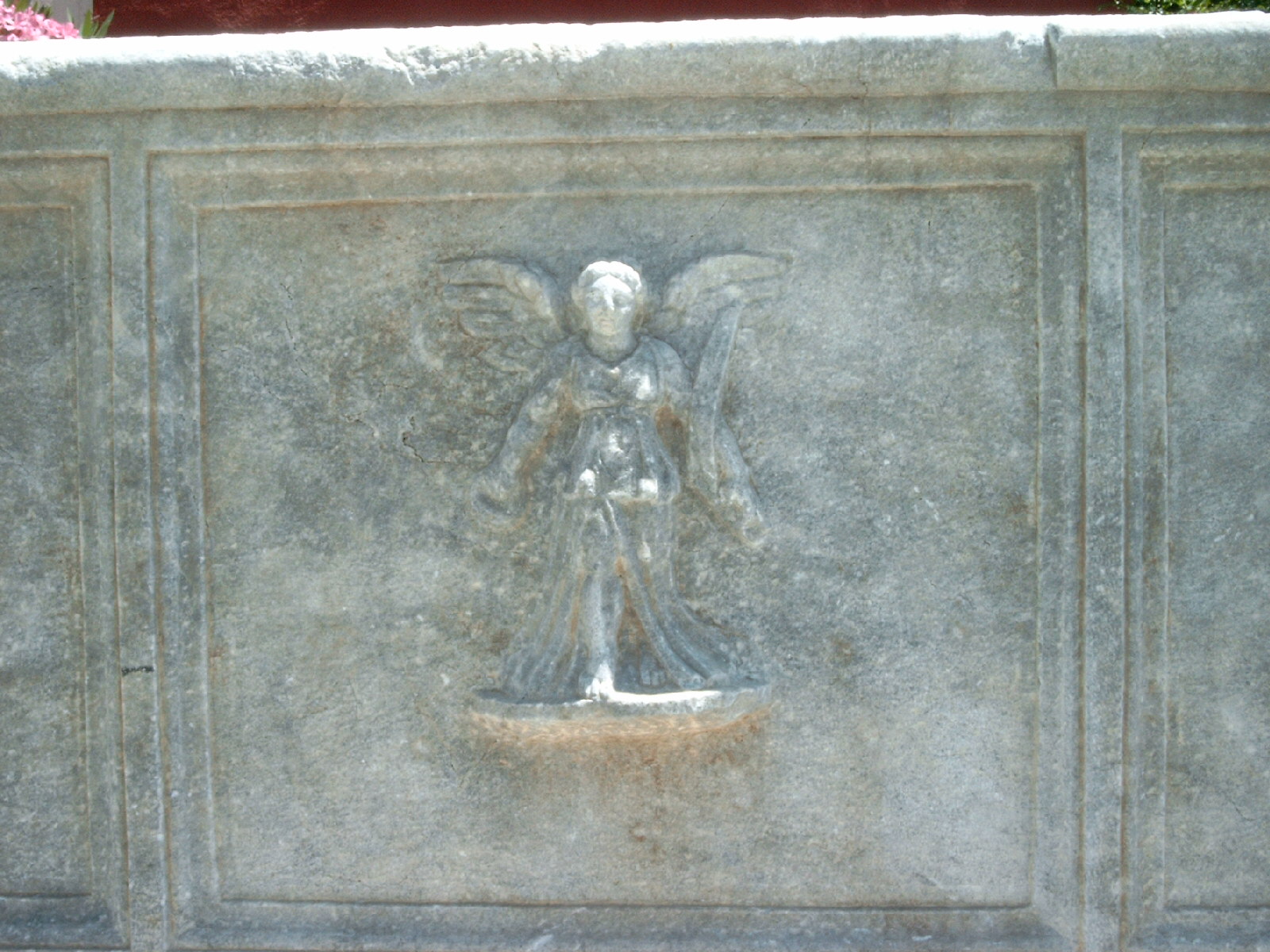
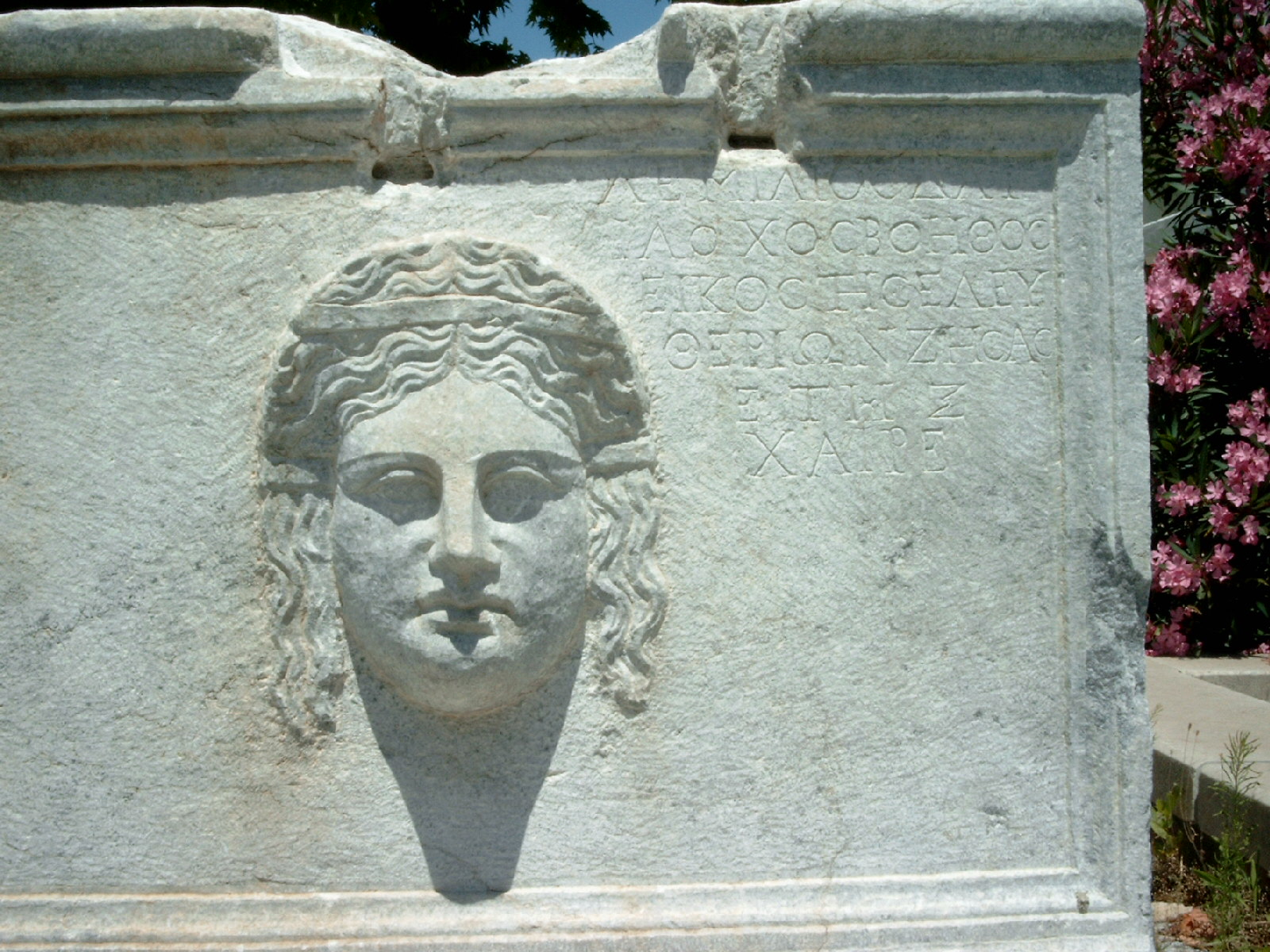
There are 113 illustrations, including colour photos and drawings, i.e. maps and plans which show the layout of an ancient town or of an ancient building.

The large and famous sites – such as Sabratha and Lepcis Magna - are easy to find. Other sites - such as Ghirza - are not so easy to find. Maybe they are in a remote area. Maybe there is not a good road leading to the entrance. For these cases, the author gives detailed driving instructions. In addition, he gives the GPS coordinates, latitude and longitude. You cannot be more precise than that.

Kenrick uses a star-system to rate the sites and - within the larger sites - the individual monuments and museums (the highest: 3 stars; the lowest: no stars). This is a good idea. Most travellers do not have the time or indeed the desire to see everything. They just want to see the most important attractions.

I like this book, but I have to mention a few things that bother me. Hopefully, these (minor) flaws will be corrected if there is a second printing or a second edition of the book.

** Page 59: ”They shows…” 

The grammar!

** Page 63: ”The theatre is undoubtedly the most striking monument at Sabratha, and deservedly so.”  

You cannot discuss whether a building is striking or not. He should have used the word ”famous” instead of ”striking” or simply deleted the last three words.

** Page 64: ”At either end of the stage, passageways (vomitoria) led directly into the orchestra from the outside.”

The passageway leading directly to (or from) the orchestra is known by the Greek word parodos (plural: parodoi). The Latin word vomitoria is used to describe the passageways leading from the auditorium to the outside. The audience exited the building through the arcades on the back side. It looked as if the theatre was spitting them out. Hence the word vomitoria.

** Page 67, about the amphitheatre of Sabratha: ”The seats are well-preserved…”

I wish this was true, but I am afraid it is not.

** Page 99: ”But this was part only of the scheme.” 

The order of the words is wrong.

** Page 112, about two temples in Lepcis Magna: ”The top of the podium of this temple was also linked to that of Liber Pater by means of arches which spanned the narrow intervening street.”

This arrangement is rare, but not unique. There is a similar case in Sufetula in present-day Tunisia where three temples built next to each other are linked by means of arches. I think the author should have mentioned this parallel.

** Page 112: ”As one leaves the Old Forum at the N corner, …, there lie on the ground to the R, just on the foreshore, three huge columns of cipollino marble.”

The columns are there, whether you leave the forum or not. It would be better to say: When you leave the Old Forum at the N corner, you will see three huge columns of cipollino marble lying on the ground…

** Page 124, about the Hunting Baths at Lepcis Magna: ”it was possibly to restore the vaulted roofs…”

Not possibly, but possible.

** Page 132: ”In its final form, the circus at Lepcis was 450 m long and 70 m wide.”

The author has confused the the inside dimensions (the racetrack) (420 x 70 m) with the outside dimensions (racetrack + auditorium) (450 x 100 m).

** Page 136, about the museum at Lepcis Magna:  ”Just inside the entrance, on the right-hand wall, is a large artist’s impression of the ancient city seen from the air.”

When he puts it like this, we think the artist is very large. But the drawing is very large.

** Page 217, the chronological table: ”161-166: Lucius Verus.”

Lucius Verus was emperor until his death in 169.

** The bibliography on pp. 219-220: Kenrick does not mention an important work edited by J.M. Reynolds and J.B. Ward-Perkins: The Inscriptions of Roman Tripolitania, published by the British School at Rome in 1952. Since 2009 the sources of this valuable collection have been available as an online database established by King's College. Here is a link: The Inscriptions of Roman Tripolitania.

This book has 232 pages, but it is a slim volume. It fits into a large pocket, and certainly into a handbag or a shoulder bag. Be sure to take it with you when you go to Libya. You do not want to miss a single detail that is mentioned in this excellent guidebook.

* * *

Philip Kenrick,
Libya Archaeological Guides: Tripolitania,
Silphium Press, 2009, 232 pages

* * *


Libya Archaeological Guides (2) Cyrenaica


Cyrenaica


This book is the second in a series about archaeological sites in Libya. The first volume, Tripolitania, about the western part of the country, was published in 2009. This volume - Cyrenaica - about the eastern part of the country appeared in May 2013. A third and final volume will cover Fezzan, the southern part of the country.

Philip Kenrick, the author of the first two volumens, is a classical archaeologist, who has worked extensively in Libya, both on excavations and on field surveys.

His book comes highly recommended: on the flap of the back cover there is a statement by Andrew Wilson, Professor of the Archaeology of the Roman Empire, University of Oxford. His statement concludes with these words:

“This is an indispensable guide for any visitor to Libya, and also an impressive and highly readable work of scholarship which any student of Cyrenaica’s extraordinary archaeological heritage must have.”


Can the book live up to this praise? If you ask me, the answer is yes. The material is well-organised, and the text is written by an author who knows his topic very well. The section about Tokra (Teuchira) is written by Ahmed Buzaian, who has been involved in excavations there.

The book begins with an introduction, that provides the historical background, and concludes with a glossary, a chronological table, a bibliography and an index.

The main part of the book (the gazetteer) is divided into nine chapters, which cover more than sixty ancient sites or monuments.

There are 222 illustrations including colour photos and drawings, i.e. maps and plans, which show the layout of an ancient town or of an ancient building.

The large and famous sites – such as Cyrene and Apollonia (Sousa) - are easy to find. Smaller and less famous sites – such as Suluntah (Slonta) - may be more difficult to find. Perhaps they are located in a remote area. Perhaps there is not a good road leading to the entrance. For these cases, the author gives detailed driving instructions. In addition, he gives the GPS coordinates (latitude and longitude). You cannot be more precise than that.

Kenrick uses a star-system to rate the sites and - within larger sites - the individual monuments and museums (the highest: 3 stars; the lowest: no stars). This is a good idea. Most travellers do not have the time or indeed the desire to see everything. They just want to see the most important attractions.

Some sites get more space than others. In order to illustrate this point I will mention eight examples. I will use a sliding scale, beginning with a small and not so famous site (Sulunta / Slonta) and ending with the largest and most famous site (Cyrene):

* Sulunta (Slonta) gets 3 pages (137-140), including 3 illustrations

* Ajdabiya gets 4 pages (21-25), including 4 illustrations

* Qasr Libya (Olbia) gets 6 pages (129-136), including 5 illustrations

* Euesperides (Berenice) gets 10 pages (38-47), including 6 illustrations

* Tokra (Teuchira) gets 15 pages (49-63), including 9 illustrations

* Apollonia (Sousa) gets 30 pages (255-285), including 14 illustrations

* Ptolemais (Tolmeita) gets 40 pages (66-106), including 35 illustrations

* Cyrene gets 106 pages (148-254), including 65 illustrations. The chapter about this ancient town is divided into seven sections, which cover six geographical areas plus the local museum.

[To put this into perspective: in Lonely Planet's guidebook to Libya (second edition, 2007) Cyrene gets only seven pages including two illustrations!]

Philip Kenrick and Ahmed Buzaian are careful with the details. If they wish you to notice a specific detail, they will tell you where you can find it. To illustrate this point I will mention a few examples:

** In the section about Tokra (Teuchira), item # 11, the Gymnasium: the author mentions some Greek inscriptions on the wall (pp. 58-59).

** In chapter 3 about Ptolemais (Tolmeita), the section about the local museum: the author mentions three polychrome mosaics discovered in the town: item # 24 the head of Medusa; item # 28 the mosaic of the four seasons; item # 55 the mosaic of Orpheus (pp. 103-105).

** In chapter 6 about Cyrene, item # 30, the House of Hesychios: the author discusses the identity of this person. Is it a friend of Synesius and one of his correspondents? Is it the father of Synesius? Or a third person, who just happens to have the same name as the other two? (pp. 167-168).

** In chapter 7 about Apollonia (Sousa), the section about the local museum: item # 6 fragments of an edict issued by emperor Anastasius (491-518). A copy of this edict was also discovered in Ptolemais (Tolmeita) (page 285).

The volume about Cyrenaica is longer than the volume about Tripolitania (353 against 232 pages) and has more illustrations (222 against 113). Volume 1 has some minor flaws, as mentioned in my review. Perhaps the proof reader was less than perfect. Fortunately, I did not notice similar flaws in volume 2. This time, it seems, the proofreader was more efficient.

Research for this book was carried out in November 2010 and in April 2012, i.e. shortly before and shortly after the downfall of Muammar Qadhafi. As Kenrick explains in his preface:

“During the compilation of this work, Libya has passed through [a difficult] upheaval and, at the time of writing, the future is still far from clear. It is greatly to be hoped however, that a new stability will lend itself to a return to tourism and to greater opportunities for both Libyans and foreign visitors to appreciate the cultural heritage which belongs to everyone.”

As mentioned above, this book is recommended by Professor Andrew Wilson. I am happy to confirm his recommendation. I wish this book had been available, when I was in Libya in 2004.

* * *

Philip Kenrick,
With a contribution by Ahmed Buzaian,
Libya Archaeological Guides: Cyrenaica,
Silphium Press, 2013, 353 pages

* * *


Tuesday, September 10, 2013

Justinian and Theodora


Robert Browning (1914-1997) was a classical scholar from Scotland. He was Professor of Classics and Ancient History at Birkbeck College, London, from 1965 until he retired in 1981. His book Justinian and Theodora is a classic biography about the life and times of the Emperor Justinian, who lived ca. 482-565, and the Empress Theodora, who lived ca. 500-548.

This review is based on the original version of the book, published by Praeger in 1971, which has 272 pages and comes with some wonderful colour illustrations, including some of the famous mosaics from Ravenna:

* The mosaic which shows Justinian and his court (pp. 206-207)

* The mosaic which shows Theodora and her court (pp. 166-167)

For more information about this topic see Ravenna: Art and History (1991) and Ravenna in Late Antiquity (hardcover 2010, paperback 2013).

The main text is divided into ten chapters which follow a (more or less) chronological line, from the death of Anastasius in 518 to the death of Justinian in 565.

The book begins with a list of maps and plans; a preface; sources of illustrations; a table of dates; and an introduction. At the end of the book there are notes on sources; a brief bibliography; two genealogical tables; and an index.

Browning covers the macro-history; he presents the essential domestic problems as well as the foreign policy of the Byzantine Empire. He also covers the micro-history; he presents the main characters: the emperor and the empress, Belisarius and Antonina, as well as John the Cappodocian, Narses, and Tribonian.

The book has a good structure, and the text is easy to read. It is written by an expert who knows his topic very well. But even for an expert something can go wrong. I have to mention a few things which bother me:

** On page 19 Browning says Constantine ruled from 307. But this emperor ruled from 306, as stated in the index. The mistake is repeated on page 22.

** On page 23 we are told Theodosius ruled from 378. But this emperor ruled from 379. The mistake is repeated in the caption on page 56 and in the index.

** On page 25 Browning says: “Britain was the first [province] to be abandoned, in about 440.” But this event took place in 410.

** On the same page we are told: “The Vandals … crossed from Spain to Africa in 435.” But this event took place in 429, as stated on page 128.

** On page 26 Browning says Theodoric, king of the Goths, died in 562. But this king died in 526, as stated on pp. 46 and 145, in the table of dates and the index. It looks like a most unfortunate misprint.

** On page 64 the circus factions – the Blues and the Greens - are defined in this way: 

“The Blues tended to represent suburban landowners and rentiers and to be firmly Chalcedonian [i.e. orthodox] and a trifle conservative. The Greens drew support from the traders and artisans, many of whom were of Syrian origin, and were inclined to make concessions to Monophysitism and present more radical demands.”

This definition is doubtful. Alan Cameron, an expert on the circus factions, has written: 

“It has been claimed, for instance, that there were social and religious differences between the factions. The Blues were upper, the Greens lower class. The Blues orthodox, the Greens Monophysite. There is not a scrap of evidence for such hypotheses – and much against.”


[See: Porphyrius the Charioteer, 1973, reprinted 1999, page 238.]

** On page 69 Browning says Justinian and Theodora were married in 525 “in the great church of Santa Sophia built by Constantine two centuries earlier.”

The first church built on this site, consecrated in 360 by Constantius II, was destroyed during riots in 404. The church in which Justinian and Theodora were married was consecrated in 415 by Theodosius II. It had nothing to do with Constantine or his son Constantius II. The same mistake appears on pp. 84 and 117.

** On page 128 we are told the church of Hagia Sophia was re-consecrated in 563. But this event took place in 562, as stated on page 236 (and in the table of dates).

** The Persian king Kavadh and his son Chosroes (also spelled Khosrow) are mentioned several times. On page 52 Chosroes is described as “his favourite third son” (which is true). But on page 92 he is described as “his fourth and favourite son” (which is not true).

** The church of San Vitale is mentioned several times. A caption on page 112 and the table of dates say it was completed in 547. But according to text and caption on pp. 210-211 it was completed in 546. What is correct? We do not know for sure. Modern scholars say 547 or 548.

** The famous speech which Theodora made during the Nika Revolt of 532 is quoted on page 112. The last sentence is rendered in this way: “As for me, I like the old saying, that the purple is the noblest shroud.” But this translation does not convey Theodora’s message very well. A better translation is: “As for myself, I like the old saying, that royalty is a good burial shroud.”

** The illustration on page 146 shows the mausoleum of Theodoric. But in the index it is listed as the “Mausoleum of Theodora.”

** The illustration on pp. 154-155 shows the palace of Theodoric (a detail of a mosaic in S. Apollinare Nuovo). But in the index it is listed as the “Palace of Theodora.”

These flaws are unfortunate, but they do not disturb the meaning and the message of the book. Justinian and Theodora is an interesting account about the Byzantine Empire in the age of Justinian, because it covers the important issues and brings to life the main characters of this period.

* * *

Robert Browning,
Justinian and Theodora,
Praeger, New York, 1971, 272 pages

* * *

 Justinian and Theodora

Please note: 
This is the cover of a paperback version published in 2003.
This “economy” version of the book has only 189 pages and no colour illustrations.

* * *


Justinian's Flea


Justinian's Flea: Plague, Empire, and the Birth of Europe


William Rosen was a senior executive at Macmillan and Simon & Schuster publishing houses for more than twenty-five years. The title of his book is Justinian’s Flea. The subtitle is Plague, Empire, and the Birth of Europe (hardcover 2007, paperback 2008).

The main text is divided into thirteen chapters which follow a (more or less) chronological line from AD 286 to 565. At the end of the book there are notes with references, acknowledgements, a brief bibliographical note, and an index.

The text is illustrated by seven maps (in black-and-white), but there are no pictures.

James Allan Evans is an expert on Late Antiquity. In The Power Game in Byzantium (2011) he describes Rosen’s book as “an invaluable contribution” (page 236). Therefore I was looking forward to reading it. My expectations were high. Unfortunately, they were not fulfilled.

Justinian’s Flea is, in many ways, an interesting book. I can understand why Evans likes it, but there are some flaws, and in my opinion they are not insignificant. Let me explain:

(1) The structure of the book is unfortunate:

Justinian does not really enter the account until chapter 3, which begins on page 64. The plague, which hit Constantinople in 542, does not really enter the account until chapter 7, which begins on page 167, and after chapter 9 it fades into the background. The birth of Europe is not really discussed until the epilogue, which begins on page 315, and the whole discussion covers less than four pages.

(2) Many references are incomplete:

Rosen gives the name of the author and the title of the work, but in most cases that is all. For modern works he does not like to provide a specific page. For ancient works he does not like to provide a proper citation, such as book and chapter.

(3) Rosen is rather careless when it comes to dates and facts:

** He claims Christianity was adopted as “the official religion of the empire” during the reign of Constantine I (page 2) or upon his death in 337 (pp. 99-100). But this important change did not happen until much later, during the reign of Theodosius I (379-395).

** On page 4 he refers to the empire “founded by Augustus in 74 CE.” But the empire of Augustus was founded in 27 BC.

** The map on page 17 includes a legend, which shows “The extent [of the Byzantine Empire] at the accession of Justinian: 517 CE.” But Justinian became emperor in 527, as Rosen says on page 76.

** On page 21 he mentions “the fermented fish sauce called garam.” But the name of the famous Roman fish sauce is garum.

** Rosen thinks Diocletian became emperor in 285 (page 24). But this emperor ruled from 284.

** Rosen claims Diocletian “waited until the celebration of the twentieth anniversary of his reign … before visiting Rome” (page 26). He does not understand the Roman way of counting: While in Rome, in November and December 303, Diocletian celebrated his vicennalia, which is the beginning of his twentieth year as emperor (not his 20 year anniversary).

** On page 33 Rosen provides a list of the pagan monuments which Constantine allegedly brought to Constantinople: “obelisks of Egyptian pharaohs, the Serpent Column from the Temple of Apollo in Delphi, and the famous horses … brought by Nero to Rome for display in his Domus Aurea.”

Constantine moved an obelisk from Thebes to Alexandria ca. 330, but he never erected an obelisk in his new capital. The obelisk which stands in the remains of the ancient hippodrome in present-day Istanbul was erected by Theodosius in AD 390.

And Nero did not bring the horses to Rome. According to the British historian Charles Freeman, there is no credible evidence for this suggestion. See The Horses of St. Mark’s (2004) page 48.

** In a footnote about the horses, Rosen tells us that “Napoleon Bonaparte took them as spoils to Paris in 1797.” Napoleon conquered Venice in 1797, but the horses did not arrive in Paris until July 1798.

** On page 80 he refers to “the capture of Valerian in 259 CE by Shapur I.” But this event took place in AD 260, as he himself says on page 230.

** On page 115 Rosen says the dome of the Hagia Sophia collapsed in May 558, but fails to mention that it had been damaged by two earthquakes: the first in August 553, the second in December 557. He adds “the now-chastened Isidore rebuilt it in 563.”

Both name and date are wrong: the new dome was completed in 562, and the man in charge was Isidore the Younger, a nephew of Isidore the Elder, who was one of the two original architects on the church (532-537).

** On page 290 the Hagia Sophia appears again. This time Rosen mentions the second earthquake, but the first one is still unmentioned. On the next page he refers to “the destruction of the Hagia Sophia’s dome in December 557.” But this event took place in May 558, as he himself says on page 115.

** Rosen thinks Julius Caesar began the Roman conquest of Britain in 54 BC (page 265). But Caesar’s first expedition to Britain took place in 55 BC; 54 BC was the year of his second expedition.

** Rosen says the Ottoman Turks conquered Constantinople in 1458 (page 320). But this event took place in 1453, as he himself says on page 38.

Taken one by one, these flaws may seem minor. Taken together, they become a serious problem.

The author worked in publishing for more than twenty-five years, but it seems he never learned the first rule of writing and publishing: Check your facts before sending a manuscript to the printer.

* * *

William Rosen,
Justinian's Flea: Plague, Empire, and the Birth of Europe,
Hardcover 2007, paperback 2008, 367 pages

* * *

Justinian's Flea: Plague, Empire and the Birth of Europe

* * *


Thursday, September 5, 2013

Canakkale (1) The Town


The clock tower in Canakkale.


The top of the clock tower.


Boats in the harbour of Canakkale.
Notice the Turkish inscription on the slope on the other side of the strait.


The Turkish inscription on the slope of the northern side of the strait.


A boat in the harbour.
Notice the village on the other side of the water.
The strait of the Dardanelles is quite narrow at this point.


A modern copy of the Trojan Horse.
The remains of ancient Troy are not far from Canakkale.


The Trojan Horse.
The person who walks by the horse indicates the scale.


The Trojan Horse.


This channel provides a safe harbour for smaller boats owned by local people.


The Cannon Monument:
Two of the old cannons that were used by the Ottoman army to stop the Allies 
during the Gallipoli campaign in 1915.


The Cannon Monument.


The Cannon Monument.


This poster with Turkish text explains that these old cannons were used 
against the Allies on 18 March 1915.

* * *

Go to the next installment:


* * *


Canakkale (2) The Naval Museum


The entrance to the naval museum in Canakkale.


Deniz Müzesi - The Naval Museum in Canakkale.


Inside the gate there is a free standing wall decorated with a large picture of the strait.
The face of Mustafa Kemal Atatürk is seen in the sky.
He protects the Republic of Turkey.


An old torpedo on display in the open air museum.
From the museum you can look across the water to the other side of the strait.
Notice the Turkish inscription on the slope (between the bench and the torpedo).


An old torpedo.


A mine from World War One.


A mine from World War One.


During World War One this warship was used to drop mines in the strait in order to stop
the warships of the Allies,when they wanted to pass Cannakale in order to attack Istanbul.


Next to the old warship:
a submarine net anchor, that was used to stop an enemy submarine,
that tried to pass Canakkale in order to attack Istanbul.


Mines could be dropped into the water from the rear end of the old warship.


From the naval museum you can look across the water to the other side of the strait.
Notice the Turkish inscription that is placed on the slope to the right of the village.


Old cannons on display in front of an old castle from the time of the Ottoman Empire.


An old cannon on display in front of the old castle.
The two visitors on the left side indicate the scale of the old weapon.


The warship that was used to drop mines in the strait during the Gallipoli campaign in 1915.

* * *

Go to the final installment:


* * *


Canakkale (3) The Archaeological Museum


The entrance to the archaeological museum in Canakkale. 
You are not allowed to use a camera inside the building, 
only in the courtyard outside the museum.


Two ancient containers on display in the courtyard in front of the museum.


Two ancient columns.


An ancient sarcophagus.


Detail of the ancient sarcophagus.


A Corinthian capital.


Two sarcophagoi with beautiful reliefs on the sides.


Detail of the sarcophagus.


Detail of the sarcophagus.
Notice the Greek inscription next to the portrait of the woman.


An ancient statue base with a Latin inscription:
CIL 03 - 00384 and ILS 1018.


The ancient statue base with a Latin inscription,
discovered in Alexandria Troas (in present-day Turkey).
The inscription is about Sextus Quinctilius Valerius Maximus,
who was a friend of Pliny the Younger.


This picture shows the first part of the Latin inscription.


This picture shows the second part of the Latin inscription.

Here is the Latin text:

SEX(to) QUINCTLI(o)
SEX(ti) F(ilio) ANI(ensi) VALERIO
MAXIMO LATO CLAVO
EXORNATO A DIVO AUG(usto)
NERVA QUAESTORI PONT(i)
ET BITHYNIAE PATRONO
COLONIAE PONTIFICI II
VIRO PRAEF(ecto) FABRUM
II VIRALIB(us) ET SACERD(otalibus)
ORNAM(entis) HONOR(ato)
D(ecreto) D(ecurionum)
VIC(us) X

In English:

"To Sextus Quinctilius Valerius Maximus, son of Sextus, (of the tribe) Aniensis, adorned with the broad purple stripe (i.e. senatorial status) by the deified Nerva, quaestor of Pontus-Bithynia, patron of his colony, pontifex, duovir, prefect of the fabri, honored with duoviral and priestly ornaments by the decree of the decurions. 
(This monument was erected by) the tenth district."
* * *


Sunday, September 1, 2013

Gallipoli 1915 (1)

Introduction
Gallipoli is an elongated peninsula that lies approximately 250 km southwest of Istanbul, which was the capital of the Ottoman Empire from 1453 to 1923 and has since then been the largest city in the republic of Turkey which was founded by Mustafa Kemal Atatürk in 1923.

During World War One (1914-18) this peninsula was the location of a military campaign that lasted nearly a year, from February 1915 to January 1916. The Allies (Britain, France, Australia, and New Zealand) attacked the Ottoman Empire, which fought with the Central Powers (Germany and Austria-Hungary). A victory over the Ottoman Empire would help the last major ally (Russia) and at the same time weaken the Central Powers. It was (perhaps) a good plan in theory, but it could not be implemented in practice .

This campaign is not only one of the most horrible of the war because there were thousands of casualties on both sides. It is also one of the most significant because it had great consequences - both short term and long term, both for individuals and for large populations.

Today large parts of the peninsula are preserved for historical reasons. There are still many traces of the battles that took place during the war, and after the war (1923-26) a number of cemeteries and memorials to the fallen on both sides were established.

A few years ago I had a chance to visit this peninsula and some of these memorials. In the first part of this blog I will cover the military campaign: What happened? Why did things go wrong for the Allies? What were the consequences? In the second part I will tell you what you can see on the peninsula today. But before I begin I will present some basic observations.

Name and Geography

First the name of the campaign. In the western and English-speaking world people usually talk about Gallipoli campaign. The name comes from the Turkish city of Gelibolu that has given the peninsula its name. But the Turks usually talk about the Canakkale campaign (pronounced Chanákkale” with stress on the second syllable). Canakkale is located opposite the peninsula on the Asian side of the narrow strait called the Dardanelles. Today it is the largest city in the region with ca. 75,000 inhabitants.

Second the geography. If you wish to sail from the Aegean Sea to the Black Sea, you must first pass through the narrow strait named the Dardanelles, then cross the Marmara Sea, covering an area of ​​11,655 square kilometers, and finally pass the narrow strait called the Bosporos. Throughout this trip you will have Europe on the left side and Asia on the right side .

The Dardanelles is ca. 60
km long. The width is up to six miles, but at the narrowest point is only 1.2 miles from coast to coast. Gallipoli Peninsula is the northern side of the strait .

The Bosporus Strait is ca.
30 km long. The width is up to 3.3 miles, but at the narrowest point is only 0.7 miles from coast to coast.

Around 600 BC Greeks pioneers established a town called Byzantium on the western side of the strait. In AD 330 the city was renamed Constantinople. In 1453 the city was renamed Istanbul, and today it has grown so much that it lies on both sides of the Strait, partly in Europe and partly in Asia.

A government, which controls the two straits, the Dardanelles and the Bosporus, controls the strategically important route to and from the Black Sea. In 1915, Britain and France wished to deprive the Ottoman Empire control of this sea route, so that their ally Russia, had free passage to and from the Black Sea.

Four Phases

The Gallipoli campaign can be divided into four phases. The first was a purely naval operation that took place in February and March 1915, when the Allies twice tried to force the Dardanelles. On 19 February they attacked with 18 British warships, but it was in vain. One month later, on 18 March, they attacked again, this time with 14 British and four French warships, but again it was in vain.

The Turks had built forts and erected guns on both sides of the Strait. In addition, the
y had dropped several mines in the strait and set up a submarine net at the narrowest point (from Kilye Bay to Nara Burnu approximately five kilometers north of Canakkale).

During the second attack three Allied ships hit a mine. All three sank quickly, and almost all on board perished. One ship was French: the Bouvet (French); two ships were British: the Ocean and the Irresistible.

The second phase was a combined naval and military operation which began on 25 April 1915. British troops (29th Division) landed on five different beaches around the peninsula's southern tip, Cape Helles. The five beaches were given codenames: S, V, W, X and Y Beach .

At the same time troops from Australia and New Zealand (Australian and New Zealand Army Corps, or ANZAC) landed on the western coast approximately twenty kilometers north of Cape Helles in the bay, which is called Anzac Cove today. This beach had the codename Z Beach.

In addition, two diversions were supposed to keep some of the Turkish troops away from the actual front: one was carried out by French troops that went ashore at Kumkale on the Asian side of the Strait, south of Gallipoli, while the other was carried out by British ships that sailed up to Saros Bay off Bulair on the peninsula’s narrowest point, but in this case there was no landing .

The Allied forces came ashore, but the Turks resisted . Both sides dug in, and it became a war of attrition, just as it was on the front between France and Germany. It cost many thousands of dead and wounded to move the front a few feet forward or back.

The third stage was a new offensive, which began on 6 august 1915. The British attacked at Cape Helles, ANZAC attacked from Anzac Cove, and new British troops landed at three different beaches barely ten kilometers further north at Suvla Bay. The three beaches were codenamed A, B and C Beach. The front moved a little bit, but the Allies did not achieve a breakthrough, and certainly no victory.

The fourth and final phase was an evacuation that was carried out in two steps. All troops were evacuated from Suvla Bay and Anzac Cove on the night between the19th and the 20th of December 1915, while all the troops were evacuated from Cape Helles on the night between the 8th and the 9th of January 1916.


The evacuation was a great success. No Allied soldiers lost their lives during this phase. Ironically it was the only success throughout the campaign. Both the first, second, and third stages had been terrible disasters that killed and injured thousands of people on both sides. The Commonwealth War Graves Commission give the following casualties:

• Commonwealth (England, Australia and New Zealand): 36,000 dead
• France: 10,000 dead
• The Ottoman Empire: 86,000 dead
• Total number of dead: 132,000 dead


Why Did Things Go Wrong?

At the time England was a superpower, especially in the maritime field. The Ottoman Empire was a great power in decline. In Western Europe, it was known as “the sick man of Europe.” The Gallipoli Peninsula is a tiny piece of land, a narrow isthmus, whose length is less than 100 miles. Given these facts, it is relevant to ask: Why were the Allies unable to conquer this area ? There are several reasons:

(1) The Allies overestimated their own strength. England and France were used to having their way in international politics. But this did not happen this time.


(2) The Allies underestimated the Ottoman Empire’s ability and willingness to resist, which was fatal. The Turks had previously lost large territories in North Africa and the Balkans, but now it was about their homeland, and therefore they fought very hard. The Ottoman Empire was weakened, but not broken.

(3) The Allied leaders were in many respects completely incompetent. They did not know the local situation well enough. They used maps that were outdated and inadequate. They had not prepared the ordinary soldiers well enough for their task. There was poor communication between the various departments of the invasion force.

(4) Collaboration between the Allied naval and military units was poor. The two sides did not have much respect for each other. Each of them had enough in itself.

(5) The Turkish side was well prepared when the invasion came. After two unsuccessful naval attacks in February and March the Turks could easily figure out that a military invasion was the next step. The British gave the Turks more than a month (from March 18 to April 25) to prepare for an invasion, and the Turks used this time very efficiently.

(6) The Ottoman Empire was allied with Germany. The Turkish army in the area were led by a talented German general named Otto Liman von Sanders (1885-1929). His second in command was a talented Turkish officer named Mustafa Kemal, later known as Atatürk (the father of the Turks) (1881-1938).


* * *

Go to the next installment:

* * *


Gallipoli 1915 (2)

The Impact of the Campaign
The Gallipoli campaign was a failure. Right from the start. The Allies could not force the Dardanelles Strait with ships alone. They could not open the strait by invading the Gallipoli Peninsula. The British government gave the fleet and later the army a hopeless task. But it would not admit it. Therefore both Army and Navy were ordered to carry on, month after month. In August, they tried a new offensive at Suvla Bay, and for a brief moment there was a chance, but they missed it because of poor planning, and then continued the war in the same way as before.

The consequences were disastrous: the two parties had a combined loss of 132,000 deaths and perhaps as many wounded. Thus the average cost of this campaign was more than 10,000 deaths a month. Finally, after almost a year of fighting, the British government realized the failure and ordered an evacuation. But by then 132,000 soldiers had lost their lives in a mission that could not be completed. This was the impact of the campaign in the short term. In the longer term the campaign also had some major consequences.


The Turkish officer Mustafa Kemal became a national hero because of his role in the defense of Gallipoli. After the war ended in 1918 he became the leader of the Ottoman army that stopped Greece's attempt to conquer the western part of Asia Minor. Thus his hero status among the Turks grew to new heights. In 1923 he founded the republic of Turkey and made ​​himself the country's first president - a post he retained until his death in 1938. He is the most famous and best-known person in the history of Turkey.


The Gallipoli campaign was planned and implemented by the British government. The Ministers with prime responsibility were Lord Horatio Herbert Kitchener, who was Secretary of War, and Winston Churchill, who was Minister of the Marine (First Lord of the Admiralty).

When news of the failed invasion reached England, the government became unpopular, and Churchill had to resign in May 1915. His political career came to a halt, but it was only a small price for having launched a disastrous action, and besides, this setback was only temporary.

In 1917 he was appointed Colonial Secretary, and in 1921 he was the chairman of the Cairo Conference, that decided what would happen to the remains of the Ottoman Empire. This conference created the modern state of Iraq, although from the outset it was clear that the state had many different ethnic and religious groups that had no national unity.


If you want to be blunt, you can say that Churchill first made Mustafa Kemal a national hero, who was able to establish the republic of Turkey, and then set up Iraq, thereby laying the groundwork for many of the problems that still plague this country in the 21st century.


Lord Kitchener was not affected by Gallipoli scandal. He continued as Secretary of War until his death in June 1916. He was on his way to Russia aboard the British warship the Hampshire when it hit a mine and sank. Kitchener and almost the entire crew perished.


Anzac Day

The Gallipoli campaign had (and still has) a special significance in Australia and New Zealand. During the First World War, these two nations were still young and closely linked to the motherland. Many young men volunteered to join ANZAC and fight on England’s side. Gallipoli was a baptism of fire for ANZAC. Thousands fought and fell during this campaign.

For the surviving veterans, their families, and friends, and for subsequent generations, Gallipoli is an event that helped create their national identity.

The date of the invasion, 25 April, was named Anzac Day, an official holiday, still marked by many in Australia and New Zealand. Some travel to Gallipoli to see the place where it all happened. For many it is not just an ordinary tourist trip, but almost a pilgrimage .

Today veterans from that time are no longer alive. But the memory of Gallipoli lives on and remains important. Perhaps it has a growing importance. On 25 April 2005, the 90th anniversary of the invasion, 20,000 people showed up at Anzac Cove to attend the official ceremony at the site.

Hellfire Pass

Since 1987 Anzac Day has also been marked at Hellfire Pass in western Thailand. During World War Two, thousands of Allied prisoners of war were forced by the Japanese to build a railway from Thailand to Burma, the infamous “Railway of Death.” Many of these prisoners of war came from Australia and New Zealand.

Work on the section of the line that is known as Hellfire Pass started (coincidentally) on Anzac Day, 25 april
1943. In April 1987 this place was declared a historic monument, and in April 1998 a historical museum was inaugurated at the site: Hellfire Pass Memorial Museum.

Anzac Day was originally about Gallipoli and the First World War. But nowadays it is also about Hellfire Pass, the Railway of Death, and World War Two.


Notes and References

** Tim Travers, Gallipoli, 1915, Tempus: Stroud, hardcover 2001, paperback 2002, 288 pages.

** Mustafa Askin, Gallipoli: A Turning Point, no year, ca. 2005, 56 pages.

** Commonwealth War Graves Commission, The Gallipoli Campaign, 1915 and The Gallipoli Peninsula, Turkey. This material is available at the tourist office in Canakkale. The commission has a website on the internet. The address is: www.cwgc.org

** Christopher Catherwood, Winston's Folly: Imperialism and the Creation of Modern Iraq, Constable: London, 2004, 268 pages.

** The Hassle Free Travel Agency, Anzac House, Canakkale, Turkey.
The website on the internet: Hassle Free Travel Agency.

E-mail address: hasslefree@anzachouse.com

** Major and Mrs. Holt's Battle Map of Gallipoli, T. & M. Associates, 2000. You can order this item online. The internet-address is: www.guide-books.co.uk

* * *

Go to the next installment: